Zumbahua-Angamarca-Cunuyacu-Riobamba
July 20th
We sleep in a bit under warm wool blankets in the church dormitory, so when we finally set forth the sun is shining bright in the sky. We stock up on food provisions and climb out of town on a beautiful paved road. Slowly the valley drops away below us. The many fields look like pieces of a well-loved quilt strewn amount the rocky outcroppings, and lining the road are the highest altitude cacti I have ever seen. Did you know that cacti can grow at 12,500 feet?
 |
| Up, up, up, mountains, mountains, mountains |
Near the top of our winding climb we spot signs for the road we will take to Angamarca. Time to let some air out of our tires and get back on the dirt! The road is bumpy in places but generally in awesome condition, and gradually it takes us up higher into the mountains. Up here, the most common farm animal, the cow, has been replaced by herds of llamas and sheep, which are much cuter and fuzzier. The llamas look at us with their huge eyes as we ride past and I get the sense that they are staring into my soul.
 |
| Perfect cycling |
 |
| A mosaic sheep |
 |
| Out for a walk with the pig |
A gradual descent brings us down to a river, then we climb up our second pass of the day. Near the top things get really foggy, and suddenly a rather ephemeral church emerges from the mist. A nice landmark for the top!
 |
| The only building for miles |
 |
| Dodging a cow on the descent |
 |
| Angamarca way below |
July 21st
We wake up early to the various noises of a farm community. Donkeys braying and whistling, roosters crowing, dogs barking, babies crying, etc. As we're packing up I ask Jose if they have a bathroom I can use. No, he says, they don't have a bathroom. They explain that missionaries who have been living and working in this area helped them build this house, but they haven't started the bathroom projects yet. Inside the house I can see a TV, and I wonder why this had priority over a bathroom.
The start of our climb is steep and tiring but rideable for the first few kilometers. Then, we reach an impasse. Someone has dumped a layer of large loose rocks on the road. We assume this was meant to improve the road surface, because why else would you purposely cover the road with rocks and line the sides carefully with larger boulders? Considering the steep grades, we can't ride on them. The local donkeys and horses that are sharing the road with us don't seem to like them either. They pick their way along small grassy dirt paths by the roadside and we do our best to follow.
 |
| Hooves > Wheels |
With the challenging conditions, we end up pushing our bikes up a good portion of the road and are ecstatic to finally reach the top. From here the road is more gradual and has a more manageable surface. I can't believe people are still living up here at this altitude. The dwellings we see are mostly short huts with mud brick walls and some sort of straw/hay layered heavily on the roof. I imagine the more the better for insulation.


We stop at a "micro tienda" (tiny store), the only business we see all day, for some snacks. The ladies running the place are very fashionable and very excited to see us. I don't think they get many customers up here.
Shortly after, we stop for lunch at the edge of a huge green valley, as we sit with our backs against a row of pine trees, we watch clouds flow in an out of the valley. I don't know if I have ever seen clouds like this. Thin and wispy, they're blown into beautiful configurations by the wind, twisting in waves and spirals. I could watch them all day!
After lunch we leave the hot sunshine and climb up into the clouds. I can assume that we're surrounded by more farmland, but I can't see anything, just white mist! It is gloriously quiet and peaceful. At some point we reach a top and begin to descend, then we reach the bottom and start going up again. I'm tired from all the climbing, so we stop a bit early to camp outside of a school. As we set up our tent, a group of kids watches us silently, clearly interested in us but too shy to talk. After a long while, Danny finally gets them to engage in a bit of conversation. When we ask what their favorite food is, they all say potatoes. I don't know if they eat anything else here.
July 22nd
It rains all night, and in the morning, it's still raining. A bunch of small ladies come over to talk to us. Turns out that they work at the preschool we camped behind and are curious about us. They invite us inside for some eggs and hot coffee/panela (sugar) water. While we're waiting for breakfast to be prepared, we help them with a project that they're working on: cutting out small, brightly colored foam hands. They tell us that today the kids are going out for a walk with the hands for some sort of special event. The hands represent that everyone has rights, to combat the internalization of indigenous prejudice. Quite a statement for pre-schoolers! I'm happy to see that these people care about education and opportunity for the little ones in these far-flung communities.
When the ladies set off to collect their students, we leave as well on our bikes. It's muddy and raining but there's a spectacular rainbow emerging from the valley!
 |
| "Have a good journey" |
Worse, up ahead is a whole group of clearly drunk men. Before Danny can say "buenos dias," one guy says, "Regálame alguito." Give me something. We know we're in for trouble. We try to accelerate through the group, but they are blocking the way. One man kicks my front tire and another grabs my backpack, but they are uncoordinated and we are quickly past. Rather unnerved, we are more than happy to pedal up into the paramo and away from the houses. We don't think those guys were really ill-willed, just incoherent and looking for trouble, typical drunk man behavior.
Soon our difficult morning is forgotten in lieu of more pressing challenges. The wind and rain pick up and envelope us in a freezing high-altitude storm. At times the rain turns to snow. We are reduced to pushing our bikes, heads down against the barrage. It's tough going, but we don't want to go back to the drunken celebrations, and we certainly don't want to stop here. We push on. We don't have any photos from this section; for Danny to take his camera out would have spelled the end for the camera.
Eventually we reach a giant cross marking the top of the pass, barely visible under the awful conditions. We take a couple seconds to celebrate a new altitude record: 13,877 feet! Then we head down. After a bumpy, cobbled descent we reach the "town" of Cunuyacu. Really it's a collection of a few small buildings and some swimming pools. These are what we're excited for: natural hot springs fueled by thermal activity from the local volcano! We find a tiny room at the local hospedaje (really a house with a few small rooms for visitors) and chow down on enormous bowls of steaming eggs and potatoes. Then it's to the hot springs for the rest of the afternoon where we soak gloriously for hours.
At the hot springs we meet a family from a local town who explain to us that every town in the area has a day each year when they celebrate the anniversary of the town, the town "birthday." Their local tradition is to come to the hot springs. We speculate that this explains why all those men were drunk this morning - at 10 am on a Wednesday - and hope to avoid all town holidays in the future.
The plan for dinner? More steaming potatoes and eggs. As we wait for the food to cook, I help the ladies shred pieces of old white shirts to use as gentle sponges for cleaning cars which they sell here at the shop. With a few picks of a dull serrated blade the material comes apart in delicate curlicues in their hands. I whack away until little white pieces shred off. How can destroying a shirt be so difficult?
After more filling food, we're happy to have a warm night inside out of the rain and mud. All of our stuff is soaked.
July 23rd
In the morning it is still cloudy and raining so we're reluctant to leave, but we want to restock food in the big city of Riobamba so we set off.
 |
| Not-so-encouraging morning weather |
Miraculously, as we begin to ride, the sun starts to peek out of the clouds and a tailwind picks up. We yell out encouragements to the good weather. "Come on sun, you can do it!" Our paved road makes a gentle ascent up to the turnoff for Chimborazo, the tallest peak in Ecuador. Fun fact: the top of this mountain is actually earth's closest point to the sun due to a topographic bulge at the equator. As we ascend to the volcano, it is still cloudy and rainy at points, but compared to yesterday, it's perfect riding. There are lots of vicuñas, small, llama-like creatures, out and about. Their funny long necks and gorgeous fur billowing in the wind make them fun to watch, and they're easy to see in the barren landscape. Our high-altitude surroundings, in fact, remind me of the desolate Mojave Desert in California. There's nothing there, or here, but it's perfect for these strange creatures.


At the foot of mighty Chimborazo we reach yet anther altitude record: 14,448 feet! We stop at the small visitors center to get out of the wind and enjoy a view of the snowy base of the mountain which has finally emerged from the clouds.
 |
| Volcan Chimborazo, 20,564 feet high |
July 24th
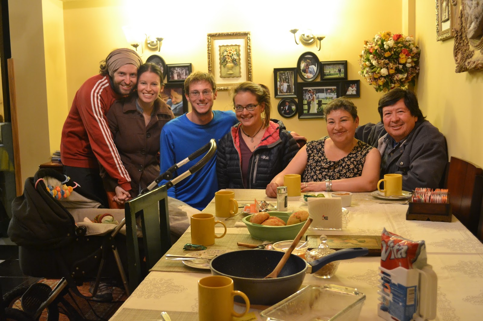
Rest day in Riobamba! Time for shopping, shoe fixing, bike cleaning, blog updating, route planning, and most importantly eating too much ice cream!

Ice cream with Luci

We found a zapatera to fix our worn-out shoes
 |
| Sunset over Riobamba |
- Zumbahua to Angamarca: Smooth, paved ascent out of town. Take a left near the top of the climb (it's signed for Angamarca) and find a scenic, well-surfaced dirt road topping out around 13,500 feet. There's a descent into a beautiful valley, another climb, then a bumpy downhill to the town.
- Angamarca to Cunuyacu: We took the squiggly but relatively direct road on Open Maps (MotionX Terrain), descending to the river on the route to El Corazon and hanging a left steeply uphill just before crossing the second bridge. The map indicates that the left next to the bridge links up with the desired road via nothing more than a narrow trail, but numerous people told us this was the way and indeed it was, an easy-to-follow road the whole way. At one point, as you near Simiatug, there's a fork; go left, uphill. At the second fork, really a T-junction at a switchback, take a right to descend to Simiatug or a left for Cunuyacu. The surface was generally good, though some parts had tons of large, loose rocks that made riding downhill a bit sketchy and demanded some pushing on the steep uphills. After the initial ascent out of the river next to Angamarca, the road surface got better. Cobbles on the last part of the descent into Cunuyacu, but it's worth it: hot springs await!
- Cunuyacu to Riobamba: Follow the Antigua Via Flores uphill until it meets up with the Ambato-Guaranda highway. Good shoulder on that road, some traffic but not overwhelming. A left into the park - there's a sign for Riobamba, 51 km - brings you up to a high pass then way down on the other side. All good pavement, the occasional car, and a lot of vicuñas.
No comments:
Post a Comment