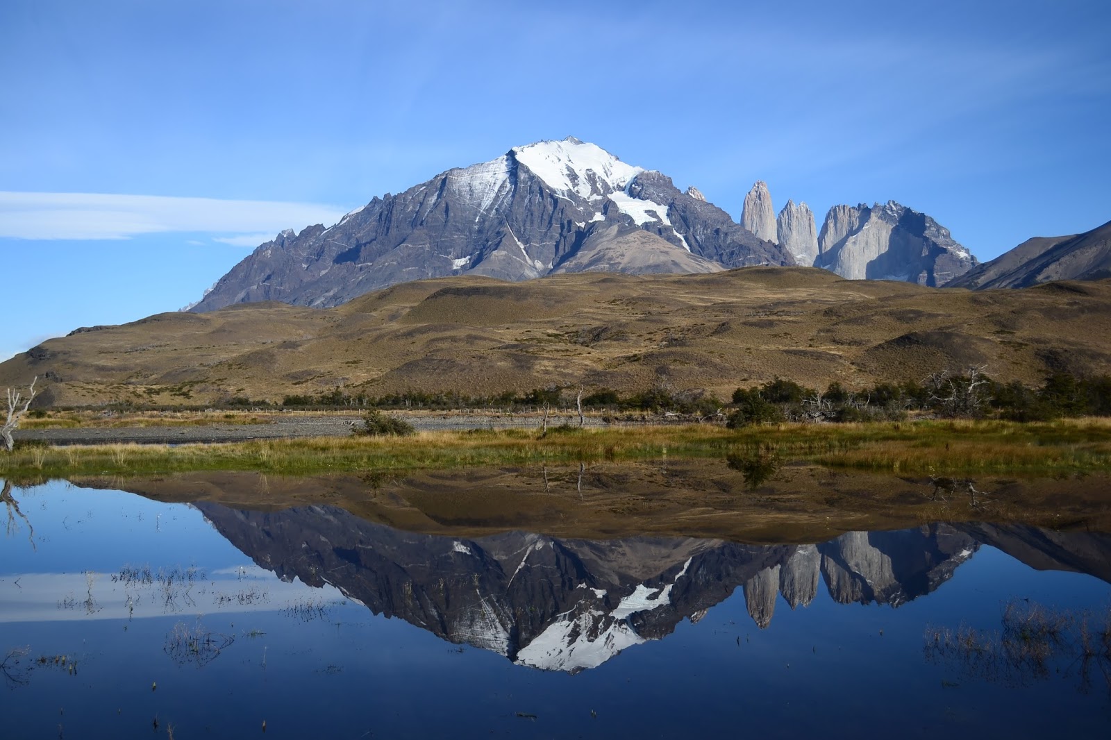
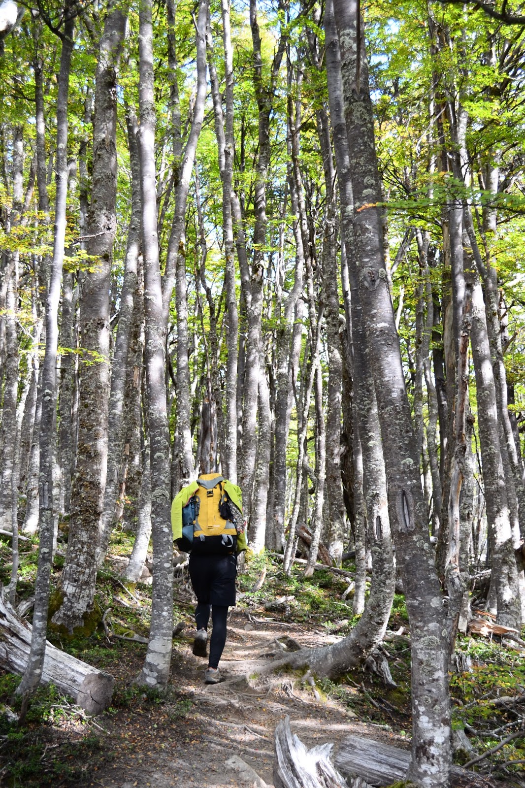
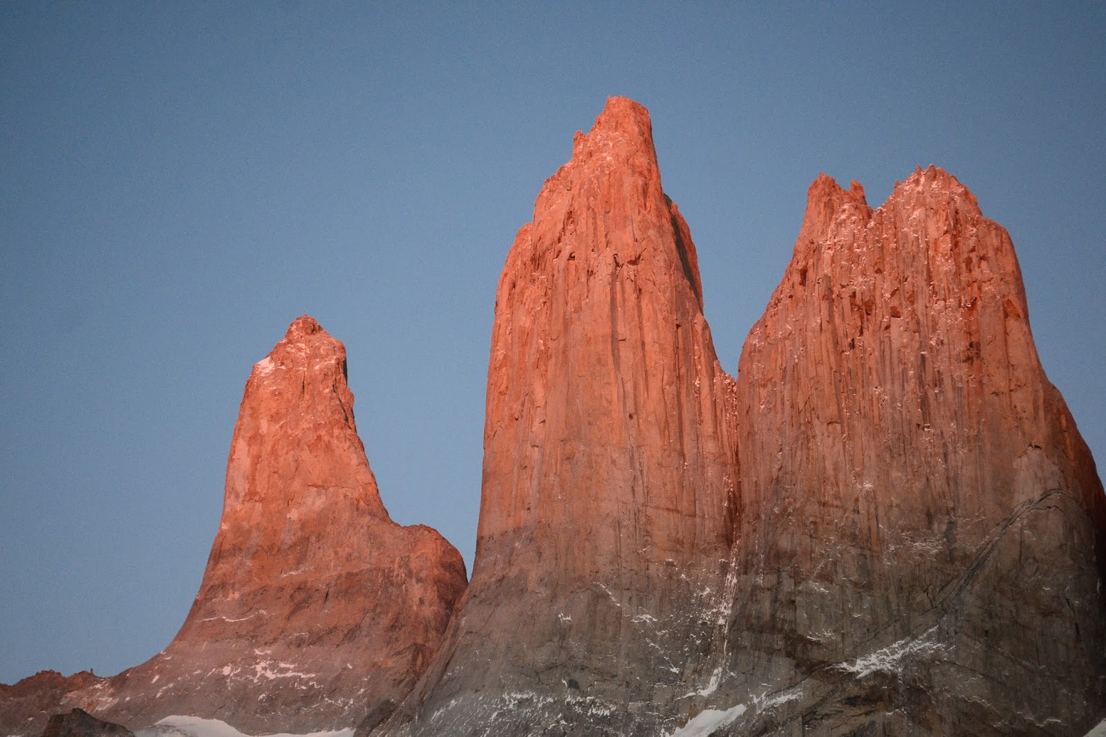
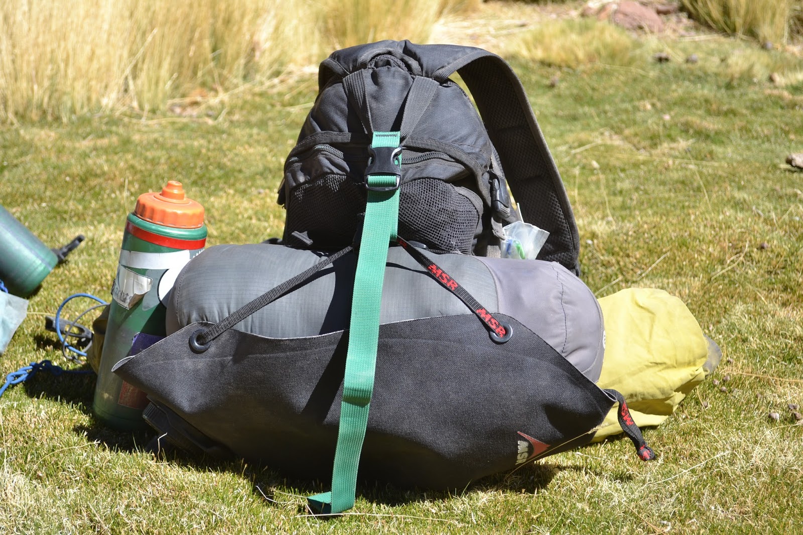
The original idea for our trip involved biking to National Parks and then going on backpacking trips, leaving the bikes behind. Although things have changed along the way and we've converted more to "bikepacking" - going off-road with our bikes - we couldn't pass up an opportunity to go trekking in the world-famous Torres del Paine National Park (pronounced PIE-nay). With about a week to spend in the park, we decided to hike what is known as the "O," a circuit around the massif of magnificent peaks. Here's the report of our seven beautiful days on foot.
Day 1: Laguna Amarga to Serón, 14 km
Our day starts early as we board a bus in Puerto Natales and zoom off towards Torres del Paine. It's a clear morning, and as we approach we peer out the windows at the stark mountains. We're dropped off at the park entrance, and chaos starts immediately. People from three different buses are crowding into a small room. Some people have forms they are filling out, some people are trying to figure out where to get the forms, and other people, with completed forms, are forming an unclear, serpentine line through the midst of everything.
When we finally pay our entrance fee we have a chance to ask a CONAF ranger about the privately managed campgrounds; we´ve heard that some of them are closed, and since camping is only permitted in the few campgrounds, it´s important that we know where to go. (CONAF stands for Corporación Nacional Forestal, the equivalent of the National Park Service in the U.S.) The first ranger tells us that all campgrounds are open, but another then tells us that some are closed, but we can still camp there. "Are there bathrooms?" She shrugs.
Armed with this conflicting information and a park map that does not show distances, only how many hours it takes to walk each section of trail, we head into the next room to watch an informational video. Crammed behind a lot of surprisingly tall visitors, we listen to a series of repetitive announcements about how it is illegal to light fires in the park and how many fees and how much jail time you will receive if connected to one of these fires.
Finally released to begin our hike, we look to fill up our water bottles. Unfortunately there is no tap, and our bottles do not fit under the tiny bathroom sinks. We set off sin agua. Hardly an auspicious start.
All this provides quite a welcome and immediately inspires a conversation on management. If it's this crowded now, what's it like in high season? What sort of communication should be required between the owners of the private campgrounds and CONAF? Why are threats used in place of fire safety education? It's the start of a long dialogue that will continue throughout the entirety of our hike.
After hiking a short distance on the road, we find our friend Fabio looking lost at the trailhead. Fabio is a cyclist we've met randomly a few times before, including on our bus that morning, and we are happily surprised to discover that he is planning to do the same hike! We three cyclists set off together, awkwardly learning how to walk again.
Fabio is from Brazil and has a wonderful sense of humor that gets us through the first painful day. Although, to be honest, mostly I think we're laughing because we can barely understand him; his mix of Portuguese and Spanish is uniquely incomprehensible.
 |
| There he is, Fabio |
Fabio didn´t bring what we think of as "backpacking" food, just a kilo of flour, 15 hardboiled eggs, some potatoes, butter, oil, and a jar of dulce de leche, which is like peanut butter if it were distilled from dairy and had eight times more sugar. With characteristic style, he somehow makes it work. Here, he shows us his technique for making "bread." The finished product most closely resembles bland pancakes, so he slathers it with dulce de leche and butter. Bam! Lunch.
Serón was closed as of April 1, but we were still allowed to camp there for free with no services (though there is an outhouse).
Day 2: Serón to Dickson, 18 km
We wake up in the darkness to mice scurrying around our tent, pots clanging, and people yelling about oats for breakfast. Our campground is packed with 25 tents, all way too close together, in my opinion, and this is the off-season! Outside on the picnic tables are remnants of last night's festivities: glass bottles of various liquors and wine. Never in my life have I seen backpackers carrying such things! Maybe after a few days of carrying their heavy, empty bottles, they'll have learned something.
With our sore bodies and annoyance at disrespectful other hikers, we wonder what we are doing out here when we could be in the middle of nowhere on our bikes. But, we decide to persevere.
Once we're hiking, things are quiet again and we have the trail to ourselves. The scenery gets better and better as we hike and our day ends with an amazing view of the Dickson Glacier, a massive ice chunk that looks like a fantastically iced cake. Or maybe I'm just hungry.
 |
| The scenery gets a bit more interesting as we hike towards these mountains... |
 |
| ...and the stormy skies add another element to the landscape. |
 |
| Maybe because of the winds blowing off the giant icefield right over there, the clouds take on some crazy forms |
 |
| A UFO? |
We invite two Israeli guys to use our picnic table to cook dinner, since it seems to be the only non-windy area in the campsite. Rotem is recently out of the army, inquisitive and thoughtful. Eldad is a bit older, a good storyteller and excellent backcountry cook. They become wonderful new friends and we spend the rest of our trek together.
 |
| Danny and Rotem. Photo thanks to Rotem |
Dickson is a pay site, but no one was around when we arrived and no one told us we needed to pay, so?
Day 3: Dickson to Paso, 17.5 or 23km*
The challenge of today is John Gardner pass, the highest pass and steepest climb on the route. We reach the start of it in early afternoon and eat a big lunch in an effort to make our packs just a bit lighter.
As we begin to climb out of the shelter of the trees, the wind starts to gust. One second we're fine, and the next the wind is blowing so hard that I can't keep my balance. Immediately I sit down and huddle under my pack. Danny, still on his feet is getting blown down the mountain, and I'm screaming at him to "sit down!" Finally he's down and the wind stops. The wild moment is past. But, Danny's sunglasses blew off his face and away, somewhere. We set off to search the landscape, hoping to find a needle in a haystack. Miraculously I find the frames, but the lenses are long gone.
We've learned our lesson. Our eclectic team (Fabio, us, Rotem, and Eldad) slowly makes its way to the top of the pass, sitting down to weather the screaming gusts of wind. Happily, the view at the top is well worth our efforts.
 |
| We hike up to the pass through shady forest... |
 |
| ...arriving later, far above treeline, to impressive views on the other side. That´s Rotem in the photo. |
 |
| Rotem, Danny, Fabio, Tam, and Eldad waiting for the wind to pass. Check out Danny´s and Fabio´s faces, they´re priceless. Thanks for the photo, Rotem. |
 |
| Rotem and Eldad making their way down... |
 |
| ...towards the unmistakeable, incredible, jaw-dropping Grey Glacier. |
 |
| Sitting down for the wind just gives us more time to take it all in... |
 |
| ...before we descend to the autumn-tinged forest once again. |
 |
| No lenses, no problem. |
Paso is a free CONAF site.
Day 4: Paso to Italiano, 26 or 29 km*
We wake up in a cloud of snow, and I'm immediately grateful that we came over the pass yesterday and not this morning. Fabio is tired from yesterday and tells us that he's not going anywhere today. We leave him laughing and making bread dough in his tent.
When we reach Refugio Grey, our quiet trail suddenly becomes packed. We've reached the even more popular hiking route known as the "W" - which traverses the front side of the mountains in the shape of a W - and are immediately happy that we hiked the whole circuit, that we had a chance to enjoy the scenery without the crowds. Over the next few days we find the W to be much busier, wider, rockier and more developed than the O.
When lunchtime rolls around, however, we're not begrudging of the infrastructure. One of the lodges serves as a wonderful indoor refuge from the frigid wind.
Arriving in Italiano campground, we are quickly overwhelmed by the amount of people. Tents seem to be on every inch of ground, and the cooking shelter is overflowing. It's surrounded by people crouched on stumps and rocks with food, stoves, and pots and pans all around. Somehow we squish onto one of the picnic tables and begin to eat. The other hikers at the table are commiserating over how unprepared they are. Topics include how awful their Nike hightop shoes are for hiking, how they've never used a camp stove and couldn´t cook pasta, and how poorly they set up their tents. At this point we are joined by two other hikers who exclaim that they didn't bring any food at all! Luckily they were able to buy a few cans of beans at the lodge but they had to eat them cold at lunch. Everyone groans sympathetically at how horrible this is. Danny and I are appalled. Neither of us knows what to say to this crowd; we have no way to relate.
Perhaps it's a good thing that this park provides opportunities for everyone, but I wonder, if hikers can get away with being so unprepared and the park staff doesn't make an effort to educate them, how they will learn?
 |
| In spite of all the clueless trekkers, the scenery continues to be spectacular. |
 |
| The trail requires faith in some rather puny cables... |
 |
| ...but our worries about falling into the gorge are left behind as soon as the jaw-dropping Cuernos (horns) come into view. |
 |
| Aha! Summer is still with us in the form of flowers. |
 |
| But, again, the Cuernos! |
 |
| I find myself saying "wow" a lot |
*Distances were marked differently on the two maps we had. Since we did not measure distance along the way, we're not sure which one is accurate.
Day 5: Italiano to Mirador Britanico and back, 12 km
As we set off on our hike up the valley it begins to snow. Hikers coming down tell us that there's no visibility, but the hike is so pretty with fresh snow on the colorful trees that we decide to continue. It's well worth it. By the time we're at the top everyone else has gone back. The Cuernos are illuminated clearly by the sun but still shielded from us by a cloud of snow, appearing like a faded postcard. We start to hike down but are stopped in our tracks by rays of sun on our backs. All of a sudden the wind picks up and starts blasting away the clouds, and when the clouds clear it blasts away the snow that has collected on rock edges and tree leaves. That crazy wind becomes a great magician, pulling away white cloaks with a flourish, and revealing craggy mountains beneath. We stop, transfixed, and enjoy the show.
Back at camp, Eldad makes us some tea. He's the kind of guy who's a bit aggressive about sharing. Even if you don't ask for tea, he'll give you some anyway. And today, I'm very grateful for that. The hot liquid travels through my body and brings delectable warmth to a frigid day.
 |
| Eldad in the snow |
 |
| We walked simply to see more of the gorgeous, white-robed forest... |
 |
| ...and the Cuernos came out to join us! |
 |
| Two days ago: snow and fall colors. Yesterday: sun and flowers. Today we´re back to snow and fall, though I think we can safely call it winter by now. |
 |
| What fun is snow without a snowman? |
 |
| As we head down, the flurries intensify... |
 |
| ...but soon abate, leaving us with a sunny forest and smiles on our faces. |
 |
| The turret-like Torres (towers) eventually show their faces... |
 |
| ...as does this picturesque mountainside. |
Day 6: Italiano to Las Torres, 20 km
Ups and downs, wind and rocks, I feel as if my body is finally adjusting to the backpacking lifestyle and movement, and of course this is our second-to-last day.
As we begin our final ascent to the Las Torres campground, we find ourselves marveling again at the other hikers on the trail. I have to admit that the culture out here has been at least as interesting as the scenery. How is it that we have found hikers out for the day in brand new Gore-Tex Pro rain suits when it's not even raining, and we've also seen hikers wearing jeans and two backpacks (one on the front as well) walking the O? We've really observed the whole spectrum.
 |
| The Las Torres madhouse... er, ahem, cooking shelter. |
Las Torres is a free Conaf site.
Day 7: Las Torres to Mirador to Laguna Amarga, 18 km
We wake up before sunrise to hike the steep trail up to the lake at the base of the famous Torres. After the last few days of clouds and snow, today, miraculously, is perfectly clear.
 |
| Along with some other sunrise-watchers... |
 |
| ...we swath ourselves in layers of down while waiting for the show to start. |
 |
| And when it does, it doesn´t disappoint. Soon the tops of the Torres slowly, almost imperceptibly, accrue hues of pink... |
 |
| ...their broad faces dipping more and more deeply into color... |
 |
| ...a mirror-like reflection showing the spectacle a second time, as if that were necessary. |
 |
| Gradually they turn from bright pink... |
 |
| ...to a flaming orange, and daylight is here for good. |
 |
| Eldad reflects quietly... |
 |
| ...but we are more exuberant! |
 |
| What a spiritual experience, and in such a cathedral! |
We haven't seen Fabio for days, but there he is waiting down at the Torres Hotel when we arrive. He's had some adventures of his own, and we're happy to chat (and to see that he made it out alive after eating all that almost-raw bread dough) as we walk back to Laguna Amarga, finishing back where we began.
Of course, the ultimate finale of a great backpacking trip is making delicious food when you get back. For dinner we make a huge veggie salad and artery-clogging brownies. Rotem comes over to our hostel and makes Shakshouka, a tasty Israeli dish with eggs and veggies. Time to feast!
 |
| I should have taken another photo three minutes after this one... the pan was empty |
We had a great hike, and I would recommend it. We were super lucky with the weather, the scenery was incredible, the trails interesting, and we even made some new friends. The backpacking culture and park management made it a very different experience from other trips we have taken, for better or for worse, but they definitely gave us plenty of food for thought.
If you are thinking about trekking in Torres del Paine, feel free to contact us with questions!